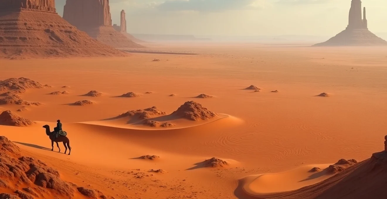
Deserts, with their ethereal beauty and harsh conditions, have long fascinated explorers, scientists, and nature enthusiasts alike. These arid expanses, covering nearly a third of Earth’s land surface, offer a unique window into the resilience of life and the raw power of geological forces. From towering sand dunes to otherworldly salt flats, deserts showcase nature’s ability to create breathtaking landscapes in the most unforgiving environments.
The allure of deserts lies not just in their visual splendor, but in the complex ecosystems they harbor and the cultural significance they hold for human civilizations. These seemingly barren lands are, in fact, teeming with life adapted to extreme conditions, and have been home to rich traditions and innovative technologies for millennia. As we delve into the world of deserts, we uncover a tapestry of scientific marvels, ecological wonders, and human ingenuity that continues to shape our understanding of the natural world.
Geomorphology of iconic desert landscapes
The striking landforms found in deserts are the result of intricate geomorphological processes shaped by wind, water, and temperature extremes. Wind erosion, in particular, plays a crucial role in sculpting the iconic features of desert landscapes. Over millennia, prevailing winds carve out yardangs, create vast dune fields, and polish rock surfaces into ventifacts, each telling a story of the desert’s dynamic nature.
One of the most recognizable desert features is the sand dune. These mobile mountains of sand come in various forms, from the crescent-shaped barchan dunes to the massive linear dunes that can stretch for hundreds of kilometers. The formation and movement of these dunes are a testament to the persistent force of wind in shaping the desert environment.
Water, though scarce, is another powerful agent in desert geomorphology. Flash floods, occurring during rare precipitation events, can dramatically alter the landscape, carving out deep canyons and depositing alluvial fans at the base of mountain ranges. These episodic events contribute to the creation of unique landforms such as playas, dry lake beds that occasionally fill with water, creating temporary oases in the desert expanse.
Ecological adaptations in extreme arid environments
Life in the desert is a masterclass in adaptation, with flora and fauna evolving remarkable strategies to survive in conditions that would be lethal to most organisms. These adaptations showcase the incredible plasticity of life and the power of natural selection in extreme environments.
Xerophytic plant strategies in the Sahara Desert
Plants in the Sahara Desert, the world’s largest hot desert, have developed an array of xerophytic adaptations to conserve water and withstand intense heat. Many species, such as the date palm, have deep root systems that can tap into underground water sources. Others, like the iconic acacia trees, have small, waxy leaves that minimize water loss through transpiration.
Some plants, like the desert rose ( Adenium obesum ), store water in their thick, fleshy stems, allowing them to survive long periods without rainfall. The resurrection plant ( Selaginella lepidophylla ) can enter a state of dormancy during drought, appearing completely dead, only to “resurrect” when water becomes available again.
Faunal physiological mechanisms in the Sonoran Desert
Animals in the Sonoran Desert have evolved equally impressive adaptations. The kangaroo rat, for instance, can survive without drinking water, obtaining all the moisture it needs from the seeds it consumes. Its specialized kidneys produce highly concentrated urine, minimizing water loss.
The desert tortoise has a bladder that can store over 40% of its body weight in water, urea, and waste products. This adaptation allows it to survive long periods without access to water. Meanwhile, the desert bighorn sheep has a complex nasal structure that helps it conserve water by cooling the air it exhales and recapturing moisture.
Microbial communities thriving in the Atacama Desert
Even in the hyper-arid Atacama Desert, considered one of the driest places on Earth, life finds a way. Microbial communities here have adapted to survive in extremely low humidity and high UV radiation environments. Some microorganisms enter a state of dormancy during dry periods, reactivating when rare moisture events occur.
Recent studies have discovered endolithic microbial communities living inside rocks, protected from the harsh external environment. These microorganisms have developed unique metabolic pathways to extract energy and nutrients from their mineral hosts, showcasing the extraordinary adaptability of life in extreme conditions.
Cultural significance and human interactions with desert ecosystems
Deserts have played a profound role in shaping human cultures, serving as cradles of civilization, spiritual retreats, and challenging frontiers for exploration and innovation. The harsh desert environment has fostered unique traditions, technologies, and ways of life that continue to influence global culture today.
Bedouin traditions in the Arabian Desert
The Bedouin people of the Arabian Desert have developed a rich cultural heritage deeply intertwined with their arid surroundings. Their nomadic lifestyle, centered around the search for water and grazing lands for their livestock, has given rise to a complex system of tribal alliances and customs.
Bedouin poetry and oral traditions often celebrate the beauty and challenges of desert life, reflecting a deep connection to the landscape. Their traditional knowledge of desert navigation, using stars and landmarks, has been crucial for survival in the vast expanses of sand. The Bedouin’s intimate understanding of desert ecology has also contributed to sustainable practices in resource management, offering valuable lessons for modern conservation efforts.
Aboriginal dreamtime stories of the Gibson Desert
For the Aboriginal peoples of Australia, the Gibson Desert is not just a physical landscape but a spiritual one, intricately woven into their Dreamtime stories. These narratives explain the creation of desert landforms, the behavior of animals, and the laws governing human society.
The Dreamtime stories associated with specific sites in the Gibson Desert serve as oral maps, guiding Aboriginal people across the land and ensuring the preservation of vital knowledge about water sources and food availability. This deep cultural connection to the desert landscape has fostered a sustainable relationship between humans and the environment that has endured for tens of thousands of years.
Modern conservation efforts in the Mojave Desert
The Mojave Desert, home to unique and fragile ecosystems, has become a focal point for modern conservation efforts. Initiatives aimed at protecting endangered species like the desert tortoise and preserving iconic landscapes such as Joshua Tree National Park highlight the growing recognition of desert ecosystems’ ecological importance.
Conservation strategies in the Mojave often involve collaborations between scientists, local communities, and government agencies. These efforts focus on sustainable water management, habitat restoration, and mitigating the impacts of climate change on desert ecosystems. The Mojave Desert’s conservation story underscores the delicate balance between human development and the preservation of natural habitats in arid regions.
Climatic phenomena shaping desert topography
The unique topography of deserts is largely shaped by the extreme climatic conditions that define these arid landscapes. Understanding the interplay between climate and geology is crucial for comprehending the ever-evolving face of desert environments.
Wind erosion patterns in the Gobi Desert’s Khongoryn Els dunes
The Khongoryn Els, or “Singing Sands,” in Mongolia’s Gobi Desert offer a stunning example of wind-driven geomorphology. These massive dunes, reaching heights of up to 300 meters, are sculpted by prevailing winds that create distinct patterns and shapes. The dunes’ name comes from the haunting sound produced when wind moves sand particles along their slopes.
Wind erosion in the Khongoryn Els not only shapes the dunes but also contributes to the broader desert ecosystem. The constant movement of sand creates dynamic microhabitats that support specialized plant and animal communities adapted to life in this ever-changing environment.
Flash flood dynamics in Namibia’s Sossusvlei region
The Sossusvlei region in Namibia’s Namib Desert is renowned for its towering red dunes and stark clay pans. While rainfall is extremely rare, when it does occur, it can lead to dramatic flash floods that reshape the landscape. These floods, though infrequent, play a crucial role in the region’s ecology and geomorphology.
When floodwaters reach the clay pans of Sossusvlei, they create temporary lakes that can persist for weeks or even months. This ephemeral water source triggers a burst of life, with dormant seeds germinating and aquatic organisms emerging from dormancy. The floods also deposit new layers of sediment, contributing to the unique layered appearance of the clay pans.
Temperature extremes and their impact on the Taklamakan Desert’s landscape
The Taklamakan Desert in China experiences some of the most extreme temperature variations on Earth, with scorching summers and frigid winters. These temperature extremes play a significant role in shaping the desert’s landscape through a process known as thermal weathering.
During the day, intense heat causes rocks to expand, while rapid cooling at night leads to contraction. This repeated cycle of expansion and contraction causes rocks to crack and fragment over time, contributing to the formation of distinctive desert pavements and rocky outcrops. The fine particles produced by this weathering process are then carried by wind, further sculpting the desert’s surface features.
Geological marvels unique to desert terrains
Deserts are home to some of the most spectacular geological formations on Earth, showcasing the power of erosion, tectonic forces, and unique chemical processes that operate in arid environments. These geological marvels not only captivate the imagination but also provide valuable insights into Earth’s history and the forces that shape our planet.
Formation process of Uluru in Australia’s red centre
Uluru, also known as Ayers Rock, is an iconic monolith rising dramatically from the flat desert plains of central Australia. This massive sandstone formation, standing 348 meters high, is not only a geological wonder but also a sacred site for the indigenous Anangu people.
The formation of Uluru began around 550 million years ago when sand and gravel were deposited in an inland sea. Over time, these sediments were compressed and tilted nearly 90 degrees through tectonic forces. The surrounding softer rocks eroded away, leaving the more resistant arkose sandstone of Uluru exposed. The rock’s distinctive red color comes from the oxidation of iron-bearing minerals, a process accelerated by the desert’s extreme climate.
Crystalline structures of the Salar de Uyuni salt flats
The Salar de Uyuni in Bolivia is the world’s largest salt flat, covering an area of over 10,000 square kilometers. This vast expanse of salt crust, formed by the transformation of several prehistoric lakes into a salt desert, creates a surreal landscape that seems to stretch infinitely to the horizon.
The salt flat is composed primarily of sodium chloride, with a crust several meters thick. During the rainy season, a thin layer of water transforms the salt flat into the world’s largest natural mirror, creating a breathtaking visual spectacle. The hexagonal patterns visible on the salt crust are formed by the crystallization process as water evaporates, leaving behind intricate geometric shapes that can be seen from space.
Volcanic origins of Egypt’s Black Desert
Egypt’s Black Desert, located in the Western Desert, offers a stark contrast to the golden sands typically associated with the Sahara. This unique landscape is characterized by black-topped volcanic hills and dolerite plateaus, remnants of ancient volcanic activity in the region.
The Black Desert’s distinctive appearance is the result of erosion exposing volcanic dolerite sills and dykes, which are more resistant to weathering than the surrounding sedimentary rocks. Over millions of years, wind erosion has scattered dark, volcanic pebbles and boulders across the desert floor, creating a striking black carpet that stretches for miles.
This volcanic heritage not only creates a visually stunning landscape but also provides valuable geological insights into the region’s tectonic history. The Black Desert serves as a reminder of the diverse geological processes that have shaped Earth’s desert regions, challenging our perceptions of what constitutes a typical desert landscape.
Technological innovations for desert exploration and research
Advancements in technology have revolutionized our ability to study, navigate, and understand desert environments. From satellite imaging to autonomous rovers, these innovations are opening new frontiers in desert research and exploration.
Satellite imagery analysis techniques for mapping the Rub’ al Khali
The Rub’ al Khali, or Empty Quarter, is one of the largest sand deserts in the world, covering much of the southern Arabian Peninsula. Traditional mapping techniques have long been challenged by the vast, ever-changing landscape of this remote desert. However, modern satellite imagery analysis has transformed our ability to study and map this formidable terrain.
Advanced spectral analysis of satellite data allows researchers to identify subtle variations in sand composition and moisture content across the desert. This information is crucial for understanding dune migration patterns, locating potential groundwater resources, and monitoring changes in the desert ecosystem over time. Machine learning algorithms applied to satellite imagery can now automatically detect and classify different types of desert landforms, greatly enhancing our understanding of the Rub’ al Khali’s complex geomorphology.
Autonomous rover advancements for Martian desert analogs
Earth’s deserts serve as invaluable testing grounds for technologies designed to explore the Martian surface. Autonomous rovers, equipped with advanced sensors and AI-driven navigation systems, are being developed and tested in desert environments that closely mimic the challenging conditions found on Mars.
These rovers are designed to navigate rough terrain, avoid obstacles, and make decisions autonomously, crucial capabilities for exploring distant planets. Innovations in power systems, such as high-efficiency solar panels and advanced batteries, allow these rovers to operate for extended periods in harsh desert conditions. The data collected by these rovers in Earth’s deserts not only advances our understanding of arid environments but also informs the design of future Mars exploration missions.
Hyperspectral imaging applications in the Negev Desert’s mineral surveys
Hyperspectral imaging technology has revolutionized mineral exploration and geological mapping in desert regions. In the Negev Desert of Israel, this advanced imaging technique is being used to conduct detailed mineral surveys, revealing the complex geological composition of the landscape with unprecedented precision.
Hyperspectral sensors can detect and differentiate between hundreds of spectral bands, allowing for the identification of specific minerals based on their unique spectral signatures. This technology enables researchers to create highly accurate mineralogical maps of large areas efficiently, a task that would be incredibly time-consuming and costly using traditional field survey methods.
The applications of hyperspectral imaging in the Negev extend beyond mineral exploration. This technology is also being used to study soil composition, monitor vegetation health in arid ecosystems, and even detect archaeological sites hidden beneath the desert surface. The non-invasive nature of hyperspectral imaging makes it an invaluable tool for studying sensitive desert environments, providing crucial data while minimizing physical disturbance to the landscape.